Monday, July 31, 2017

Jumbo's Leap

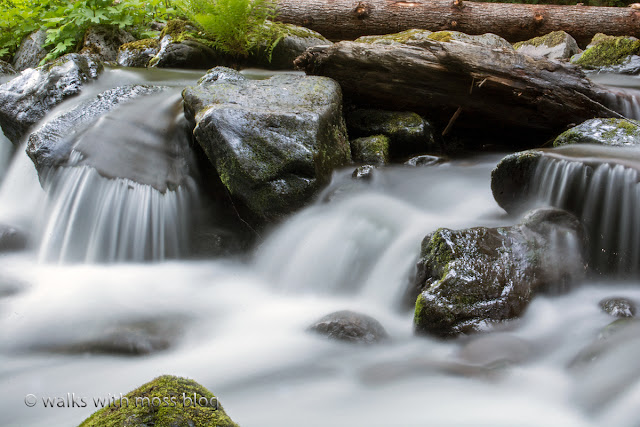
four stream at the crossing


Anyone who studies the history of  early European exploration of the Olympics has heard of the O'Neil expeditions and Jumbo's Leap.

Today we made a difficult off trail trek to the locally famous site where Jumbo made his desperate leap.

We had a nice break at the  beautiful  Blue Blue Blue swimming hole before we made the final brush crash to Jumbo's Leap.  We found a few  O'Neil trail makers that boy scouts left in in the early 1980's.  We also found some old ribbons and some traces of a trail.

A trip report from the time claims that they cut down all the timber in the area and some of the trees were 2-5 feet in diameter. We thought the exact location would be easy to find if that much disturbance had occurred.

We think the reports might have been a bit exaggerated because we could find no obvious signs of disturbance.    We only saw a few stumps and it was hard to tell if they had been cut.

About the person who wrote the trip report:

Harry Fisher was a pseudonym, under which he had re-enlisted, after being court-marshalled and dishonorably discharged for drunkenness under his true name, James B. Hanmore.  But he provides us with the most articulate, detailed and humorous account of O'Neil's expedition.

http://www.nwhikers.net/forums/viewtopic.php?t=7996666&highlight=jumbos+leap

We saw no 5 foot diameter trees in that area at all. If nothing else, they exaggerated about the size of the trees they cut down.  Five foot diameter trees just don't grow on that rocky slope.

Also, did Jumbo really leap in or was he thrown in?

We did make it to the confluence of the North Fork Skokomish and  Five Stream, so we must have been in the right spot.  We could see a pretty waterfall way down there.  Getting a clear picture of the leap area was not easy and we had to sit on a bank with a very limited view to eat our lunch.

We really wanted to go up and find the foot log that crosses five stream but we knew we did not have enough time.  The route back out was longer as we found more trail makers but they took us up too high and we had to pick our way back down.  Looking back on it,  I think the trail may have gone around the back side of a small cliff.


We hiked out well after dark thanks to some route finding issues,  rough terrain,  four breaks, and some side trips.

I don't know if we will ever hike the portion from four stream to the blue blue blue again.  We might go back in September when the water is low and look for that bridge over five stream.  When the water is low we can take the main trail and cross the Skokomish near the Blue Blue Blue.  Crossing there will save us from a lot of difficult brush crashing and might get us out before dark.

More on this here: http://www.washingtonhistory.org/files/library/oneill-expedition.pdf

8 miles with 450 feet elevation gain from the trail head.


Trail marker from boy scout trip

Phil cooling off at the Blue Blue Blue
Log crossing near the end of the four stream trail

a stump left by the O'Neil party?  This is at Jumbo's Leap

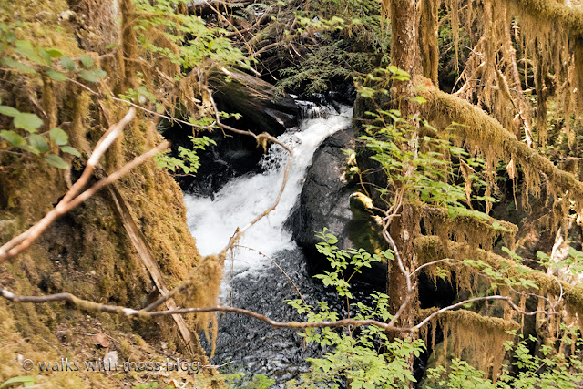
Just upstream from Jumbo's Leap.  This picture really does not show how deep it is

Fireweed in a burned area near Four Stream


Washed out area near the confluence of four stream and the North Fork Skokomish

From the boyscout guide kindly uploaded to Northwest hikers by Phil

Slime mold

Near Jumbo's Leap

This is where the fun starts


Tuesday, July 25, 2017

New Daypack


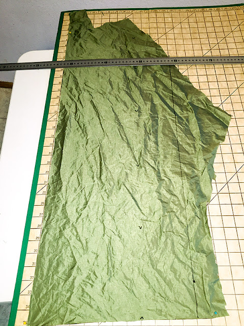
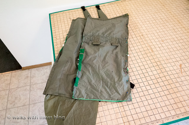
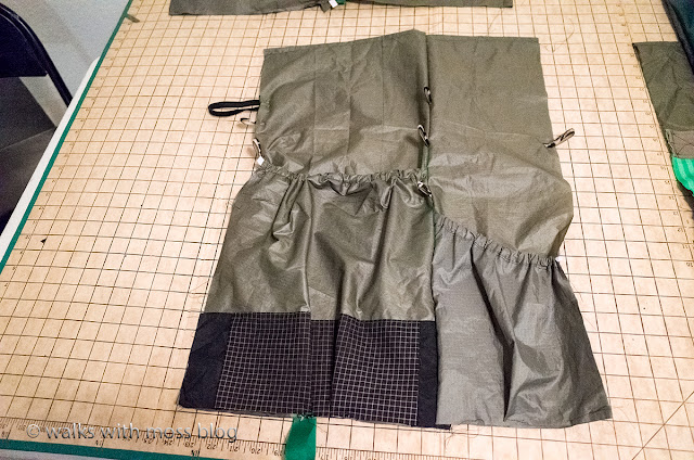
I made a new daypack and it has been on two hikes now.  This is my best one yet.  My sewing machine is better and my sewing skills are improving.  It took me about 28 hours to sew this.  Sewing went fast then last time since I repeated most of my old design.  All I bought for this was thread, velcro and elastic cord.

I'll need to buy material for my next pack, this tent rainfly is all used up.  The material is 75 Denier Coated Ripstop.  I'm having trouble finding anything other than 70 Denier ripstop online, not sure if that is strong enough.

Update:  This pack lasted 1 year and 5 months before the fabric started to weaken and tear.  I used rather old fabric to make this pack.  The fabric was from a rain fly from a tent that wore out.

Now I have finally splurged and bought new fabric for a pack: http://mosswalks.blogspot.com/2018/12/two-dog-day-on-kamilchee-ridge.html


Add caption

All ready to sew up the 4 sides


Summer day hiking list

My Sumer Dayhiking packing list

Here is what I will be packing tomorrow for a day hike:
all this goes into my home made pack

Clothes
extra socks for wet feet after river/ swamp crosssings
1  pair of gloves for emergency warmth
1  pair of gloves for brush crashing through the devils club 
1 down vest
rain coat
insulating hat (in case of an emergency)
Crocks for a planned river crossing

First Aid / Emergency / Health kit in silnylon bag
Head Lamp
Spare batteries for headlamp
A few assorted band aides
Ibuprofen
Xanax to keep calm in case of an emergency overnight
Migraine medicine
Diarrhea  medicine (for backpacking)
Thick mole skin for blisters 
Pocket knife with scissors and tweezers
Ultra light reading glasses
Sewing kit , duct tape

Other fun stuff
P-style
More TP than I think I will need
Water
Sawyer Squeeze filter on a smartwater bottle
empty 2 liter platypus if it will be a dry hike.

Cooking
I always have a cup of hot coffee or tea at lunch time
Mug /stove/ wind screen / lighter / ground reflector
Vinacafe instant coffeeHeet brand fuel or denatured alcohol from the hardware store

Trekking poles 
Only if the hike is steep and without a lot of brush crashing.  Poles
are pretty useless for brush crashing.

Electronics
Ricoh GRII camera 
If I expect outstanding scenery then I bring a
Nikon D7200 with 18-55 lens instead
Delorme inreach or cell phone if there is cell service
GPS Garmen 60CSX with topo map
Extra batteries for camera and gps

 Extras
Hand lens
Moss collection packets
There might be some things in my pack that I forgot to list..


Saturday, July 22, 2017

Boundary Lakes

Boundary Lake

Talked my youngest daughter into hiking to Boundary Lakes with me.  We had a great time.  Track log is below in case you want to try this road hike before it gets "partially" logged.  6.5 miles with 250 feet elevation gain.  A nice enough walk for being so close to home.  My trail car is having issues with overheating, so afraid to drive it too far.

I'm shopping for a new car.  I've narrowed it down to a Jetta Sportswagon with Manual transmission.  Sure the Subaru Outback would be better, but I feel like they are overpriced.  The Jetta is a better value I think.  My current car has 113,000 miles on it and is running okay but is to the point that I will have to start investing a lot of money into it if I want to keep it running.

It is not a comfortable car and it has very little ground clearance, so even though it's been a great car I'm not going to sink money into it to keep it going til 200,000 miles.

We had data for most of this hike so I hatched a lot of Pokemon eggs.  Had to use the flying camera to find the best way to reach the water.  Sent the camera up, found a good spot and somehow walked right to it!!!  Was that luck or skill or both?

More photos later.


**


6.5 fmiles with 250 feet elevation gain

Tuesday, July 18, 2017

Beautiful Meadow

Phil saw this meadow on Google Earth several years ago and he always wanted to explore it.  We plotted out our route and we got there!

Human or natural


Cow Parsnip or Coltsfoot

Can you find Sage?

Phil with his Aplenstock


Stachys cooleyae


Mimulus guttatus