Friday, May 30, 2014

Walks with moss? Nope, walks with protozoa on the Copper Creek trail


are you tempted?
My mother is still in the ICU and still on a ventilator.  She’s been there for 16 days now.  But she is getting better and her condition is not life threatening, so I took a break from visiting the hospital and went for a hike.   I needed exercise to make up for my lack of exercise these past two weeks, but at the same time I was tired from visiting the hospital and driving so I did not want to push my body too hard.  I thought of doing Mount Rose, but opted for something a little easier.  I had a deadline to meet; I had to get home in time for the 4th grade concert.


The gate across the causeway was open, so I was able to park right at the trail head and I started my hike at about 9:30.   The trail starts out next to the river and soon it climbs up into an old growth forest.  This trail follows Copper River and it should not be confused with Copper Mountain.  Copper Mountain is on the other side of Lake Cushman.  One can climb lightening peak from the top of this trail, I think lightening peak is a class 4 climb, so it’s not for hikers like me.

When I got to the top of the loop I turned right and did the loop counter-clockwise.  I took my lunch at the little view point on the way down.  Lunch was dried blueberries (way, way too sweet) peanuts and a buddy fruit.  I also had a cup of Vina cafĂ© instant coffee.

I thought about having my lunch up on the way trail that leads to lightening peak, but I was needlessly concerned about time. 

When I got home and fixed up my track log I found the trail to be just 3.5 miles round trip with 2,500 feet elevation gain.  Is the forest service wrong?  The trail head signs say this trail is 4.5 miles round trip.  The problem is that no GPS works very well in the valley at the bottom.  A wheeled device might be needed to really measure this trail.

The weather was nice; I got a bit warm hiking up and there 
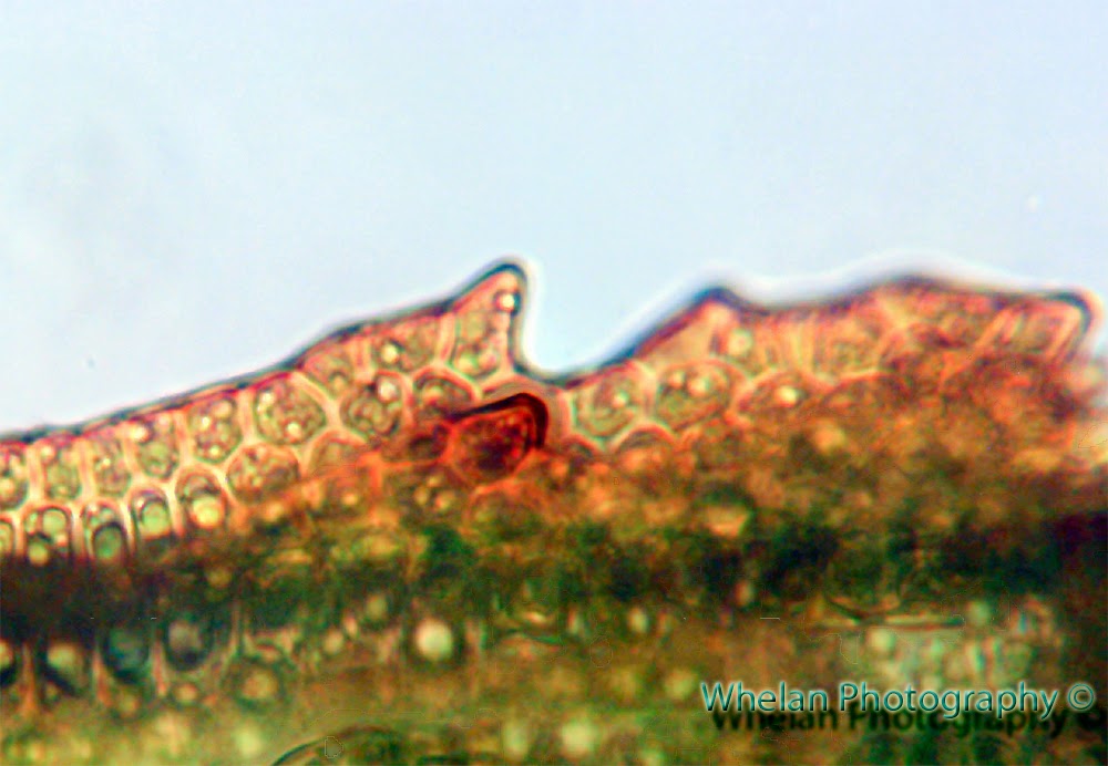
was no rain even though rain had been predicted.  There were protozoa (slime molds) everywhere; I guess the protozoa thought it was a good day to go for a stroll too.  I had the trail to myself all day.
This trail is maintained by the Mount Rose trail crew so it is in perfect condition nearly all the time and it has beautiful bridges.  I wish there was a trail going up to the top of the little peak between Rose and Copper.  Better yet how about a trail up to the top of Copper Mountain that starts in the National Forest so I can take Patches with me.. I can dream..

3.5-4.5 miles with 2,500 elevation gain


Lake Cushman and a clearcut forest in the distance

Hand drawn track log

Robin's egg blue


Protozoa on the march

Patches wants to find a way down

Patches becomes one with the mountain

Lichen and moss wonderland on the ridge

Protozoa goes for a walk

After several revisions my home made pack is holding
 up well notice the new pocket on the right.  My feet
thanked me for hiking in running shoes instead of boots


669 year old tree that fell across the trail
was cleared out by the Mount Rose trail crew.. Thanks!


Friday, May 23, 2014

Pine Lake


Patches thought this was the best destination ever


My mother who is only 65 is in the ICU, so I've not been able to hike as much as I would like to this week. I'm the next of kin and no one can find her living will, it's a big responsibility for me. I was told that she had an 80% chance of dying one week ago today. But now she is slowly getting better. She is still on a ventilator and has maybe up to a week before they can wean her off it it. This was a very close call.

She was in a medically induced coma and on paralytic drugs. But they were able to wake her up a few days ago and she was somewhat alert, communicative and responsive, so I finally felt it was safe for me to go hiking yesterday.

Still, I did a fairly easy hike because I am so tired from lack of sleep this week and I just need to take it easy.

I was disappointed to find a lot of litter and broken glass on the shores of Pine Lake. They just finished converting the road up there to trail and I think the lake may become more popular now. The lake is surrounded by old growth so it feels pristine when there no litter, but not this time.

I was really afraid that Patches would cut her feet on all the glass.  I moved all the glass I saw up into the woods and on top of logs. 

Someone had dumped potted plants onto the top of a log in the woods.  I guess this had something to do with the vegetation projects up there. 


dead potted plants and potting soil


I got some good exercise anyway and Patches had a good swim. When they converted the road to trail they killed all the S1 Tetraplodon mniodes (black fruited stink moss)  that was growing there. But have some T. mnoides that I've kept alive for about 2 years so I transplanted it up there on this day.

Patches flushed a grouse with cute little yellow babies. Mama grouse was pissed as hell and I thought she was going to attack us. I grabbed Patches collar and we slowly backed off while mama grouse followed us hissing and displaying. After mama calmed down we worked our way around her off trail. Mama and babies were gone on the return trip.


One pissed off mama grouse!
The lake is very high but I still managed to walk all the way around it. There was no sign of the huge patch of spearmint that used to grow lakeside but maybe it will come back when the lake level is lower.

7 miles with 700 feet elevation gain

the "Bubble gum" slime mold


Algae and moss

Tetraplodon mnoides protonema?

"restoration" makes it really hard to hike
on the old logging roads, tears everything up
and introduces invasive weeds.

What native plant is this?


Someone did not get the message in the picture above 

A patriotic fisherman's trash pit


Patriotic trash
bugs


Red tailed hawk


Friday, May 16, 2014

Oligotrichum aligerum from Church Creek headwaters

Whole leaf 3mm X .75 mm at the base

Cross section really surprised me
I found this just above the peat bog. This moss feels like spiky little pine trees, much more so than Polytrichum. I had to get a closer look.  It feels like some sort of strange hybrid between Polytrichum and Atrichum, it even looked like it had geminate teeth but on closer inspection it turned out that lamlea have teeth too.

 I was able to key it out by running it through the Atrichum key in Norris / Shevock but not be running it straight through the key, I had to jump around a lot but I got there in the end.


Cells look pappilose

Looks like double teeth (geminate) but one of the teeth
is actually on the lamellae and not the margin


Wednesday, May 14, 2014

Sekrit peat bog at Church Creek headwaters


The headwaters of Church Creek

I think the last time I hiked with Phil was almost a year ago.  Phil likes to explore off trail in the high country around Mount Tebo and Church Creek and the Wynoochee .  I love that area too, there is no place else just like it.

The old growth forest there is unique, but it was all slated for logging, if logging had continued unchecked under the 100 year sustained yield Shelton unit,  this area would have been that last area to be razed.  Luckily this area was saved just before Simpson could cut down every last speck of old growth.  Logging roads were built, they clearly intended to log it all, but they got stopped just in time.

decommissioned road

This hike took us down one of those roads.  The road was built and then a tiny bit of logging took place and then the logging was stopped.  Later the road was decommissioned.  Decommissioned roads are really difficult to hike down, they are all torn up and covered with rocks and weeds.  If only they would have left a little path for hikers and cyclists when they destroyed the road.  Better  yet, if only they had left these roads alone, nature would have reclaimed them in a much gentler way and they would be much more fun to hike on.

Anyway, the goal was to reach a sekrit peat bog that Phil used to drive to back before everything went to hell.  This was a place that Phil loved to visit, but the last time he tried to visit it he found that the road was in the process of being torn up and he thought he would never be able to see it again. Then Phil met me and I showed him that with a whole lot of blood, sweat and tears these destroyed roads could be hiked down, so now Phil is a hiker.  The last time Phil got to visit his favorite bog was in 1995.


After stopping to repair a flat tire we drove to the Church Creek trail. The Church Creek trail was mostly forgotten about after it had been bisected by logging.   Then the  Mountaineers
re-opened it about ten years ago and they continue to maintain it.

THANK YOU mountaineers!   

This trail originally started at the Church Creek Shelter on the Skokomish River and then made its way over the divide to Satsop Lakes and then I think, all the way to the Wynoochee River.  Unfortunately logging destroyed about five miles of the trail, so it is now divided up onto two separate trails, the Church Creek trail and the Church Creek Shelter trail.

We gained about 1,000 feet  on the Church Creek trail to reach the point where it was routed along an old never used logging road.  Where the trail diverges from the logging road and goes back into the forest is where we left the trail and continued on the decommissioned logging road instead.  
The road was a mess to hike on, but not quite as messed up as say the old road up to Prospect Ridge or the lower part of the 400 road that goes along Brown Creek.   But still, it’s tough going, it's hot and rough and slanted and rocky and decorated with downed trees and logs.   We went up the road until it topped out at 3,500 feet and we had a peek-a-boo view of the Wynoochee River.
Then we realized we had gone to high, the road was not where it was supposed to be on the maps.   We had made a wrong turn at an intersection of what we thought was a loop and we ended up above the bog and it was not clear how we were going to get down to it. 

Eventually we found a route down that was not too bad.  We had to negotiate a steep slope, boulders, downed logs and snow to get down to the bog.


Working our way down to the bog from the road


Working our way down to the bog from the road
 
The bog was very pretty and it was a bryologist’s heaven.  There was peat moss and all kinds of liverworts to look at there, plus frogs and frog's eggs.  Such a beautiful spot;  I would like to go back and camp there and make a day of exploring the flora there before the mosquitos hatch.

We, however did not have time for much exploring.   We only had time for a quick cup of tea and then we had to go.  We opted to hike out via the lower half of the unloop because we did not want to have to go back up that snow chute, but the lower unloop was longer and as we were about to learn it was a bit treacherous.  Oh, did I forget to mention that we did not start our hike until almost noon?


Phil makes expresso on top of
a peat mound that he last sat on in 1995


Peat moss


I made tea on a bed of Niphotrichum moss

peat moss

Mylia tayloria liverwort
On the lower unloop of the decommissioned road  the damage done in the name of stopping erosion was especially savage, with gigantic gorges dug into the earth. (They say this prevents erosion, but I’m not sure how)  The gorges looked impassable.  Would we have to turn back and retrace our steps and go back up the snowy chute?  We had to cross three dicey looking gorges and it was starting to get dark and I was running on just two power bars because I was dieting.  Then, I learned that Phil had no headlamp.  Okay, we are playing with fire now, I thought!  Also we were going to have to drive out on a donut tire and we had no spare tire.
One of the dicey ravines dug into the old roadbed


We made it across the gorges without dying and eventually we made it back to the spot where the trail follows the road, but before we got there I found a bunch of Black Fruited Stink moss (Tetraplodon mnoides).  This is a very rare moss in Washington State and it is ranked S1.  No doubt that tearing up all the roads destroyed a bunch of this moss.

Tetraplodon mnoides

 
By the time we got back down to the Church Creek trail  it was dark enough for me to want to turn on my headlamp.  Phil did not have a headlamp, so we had to go kind of slow, but at the same time we wanted to go kind of fast so we could make it out of there before it was too dark for Phil to see at all!
It was good and dark by the time we got back to the Jeep, but there was a full moon.  The drive back out to the pavement was slower because we were running on a donut tire and the Jeep does not have high beams. 

I finally made it home at 11pm.  Luckily I had warned my husband that I might not be home before dark, so he was not worried about me.
This was a somewhat short, but very rough hike due to the state of the roads, so I am very tired today.  I am also sunburned.  Those old torn up roads are baking hot and fully exposed due to being widened by decommissioning, they are also havens for ticks and invasive weeds. 
 Sooo these hikes are not particularly fun, but if you want to see some of the really kewl stuff up high in the National Forest and have it all to yourself, it’s a price you have to pay.  I'll be back.
I believe that the route we took back down is the route to climb Church Mountain.  It used to only be a 5 miles one way hike to climb Church Mountain.  I think it’s about 10 miles one way now that the road has been savagely destroyed, so it's no longer a dayhike for most people.

7.5 miles with 1,700 feet elevation gain 3,200 feet total elevation gain according to Google earth


track in Google earth
Blueberries

A panorama of savage logging practices and ruined roads

On top of the divide between Wynoochee and Skokomish
We saw the Wynoochee river from up there

A funny looking conk