Snow and ice at 3,000 feet

Uprooted and cut pines thrown over the road

The end of the road and the end of the Simpson / Green diamond 45 year sustained steal aka the 100 year sustained yield agreement
Last week when I hiked to a clear-cut on Cushman Hill I could look over and see the devastation done by Simpson aka Green Diamond on Prospect Ridge. A sense of morbid curiosity forced me to go look at it this week. On Prospect Ridge Simpson logged up to 3,400 feet.

Prospect ridge is in the Olympic National Forest. This area was logged to the Douglas-fir line under the “100 year sustained yield contract”. Under the contract only Simpson was allowed to bid on the trees and they subtracted the cost of road building from the bids. As the only bidder Simpson was able to pay next to nothing for these trees on your public forest land. The locals who saw what Simpson paid for these trees call this the 100 year sustained steal.
The idea behind this deal was for Simpson to spend 100 years logging this public lands and when 100 years were up the trees on Simpson owned land would be ready to log again. The forest service would then be allowed to manage Simpson lands for recreation.
Simpson had cut down virtually all the trees on the land it owned and was getting desperate for more wood. This contract was supposed to provide a steady stream of jobs for the local economy. But what actually happened is that Simpson cut down everything in the national forest in just 46 years and then laid off most of its workers and the forest service did nothing for recreation on Simpson land.
Now the only trees that are left are either not Douglas-fir or were the ones protected at the last minute when environmentalists from back East put an end to the logging of old-growth. During those 46 years 85% of the trees in the South Fork Skokomish watershed were cut down. The environmental impacts can be seen every time the Skokomish river floods.
The mass of logging roads sent huge amounts of debris into the Skokomish River and the river bed was filled with gravel. Now when it rains hard, the only place the water can go is over the banks of the river.
The forest service told Simpson to cut down all the trees on each bid area, but Simpson aka Green Diamond only wanted Douglas-fir so old growth cedar and hemlock were cut down and then pushed into piles and left to rot. You can see these piles in many places in the Southern flank of the Olympics.
Now the forest service is broke with no trees left to sell and having to spend money to decommission all of Simpson’s old roads. Most of Simpson’s workers have been laid off because there are no trees left to cut. A lot of them now work in low paying jobs at the casino. The Casino is the number one employer in Mason County. Once upon a time Simpson / Green diamond was the number one employer in the state.
I started this hike at a gated road near Brown Creek Campground. This hike will be a few miles shorter when they open the gate in May. The weather forcast was for snow and I was worried about getting stuck out there. It started snowing right at the start of my hike but it was not sticking. When I reached 2,500 feet the snow started to stick. At about 3,000 feet there was fresh snow was on top of old ice. The old ice layer was a foot thick in spots.
When I reached the end of the road I bushwhacked up 200 feet to the highpoint of the ridge at 3,800 feet. On the ridge I found blazes from and old trail that existed before the area was logged. I don’t understand why the Forest Service let Simpson aka Green diamond destroy all of the trails in this area. The old growth Hemlock forest on the ridge was very pretty but I did not linger for long due to the cold and the time. I hiked really slowly and did not make it out of the woods until 5:00pm, making this an eight hour hike.
I pushed my bicycle up for the first 3 miles of the hike and then left it behind when I got to a large washout that had been covered with straw. On the way back down some of the straw was snow covered and the snow covered straw was very slick. I fell down three times but I did not get hurt but the joints that I fell on are sore today. When I got back down to about 1,500 feet the snow changed to rain.
When I reached the spot where I had parked my bike, I was very happy to see it. I was tired and I was looking forward to coasting back down to my car. This hike took a lot out of me and I am very sore today.
There were some licensed brush pickers on the same road. They hiked in about two miles to get to their brush picking spot. They hiked out at the same time as I did and a few of them recognized me from previous hikes. They all looked cold, wet and miserable. I’d much rather be hiking than brush picking!
16 miles, 13 miles hiking, 3,200 feet elevation gain

Strolling along the douglas-fir line

This straw made the road slick

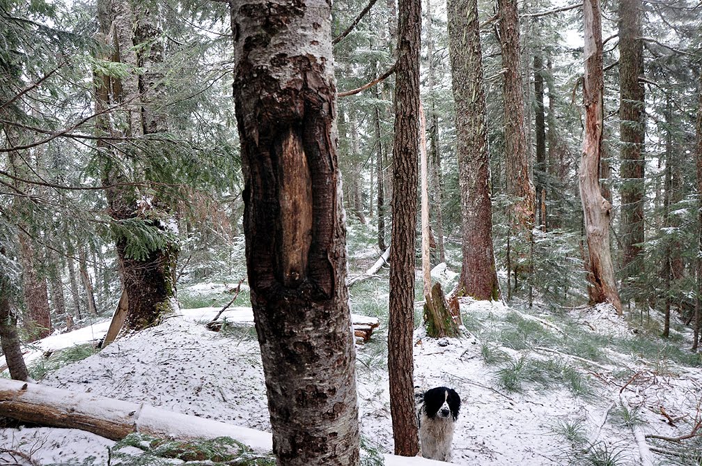
Patches pauses to deball her crampons
Old trails blazes on Prospect Ridge from a trail that was destroyed by Simpson. Why did the forest service let Simpson destroy the trails?

I wonder where this trail went.

Old Growth Stump

Hemlock and or cedar that was cut and left to rot under the sustained steal agreement

Old Growth Hemlock forest that was spared
Simpson only wanted douglas-fir

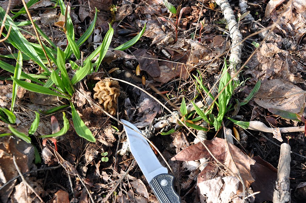
Spring Mushrooms

Pines

In about 1,500 years it will be hard to tell that this area was logged
I wore cotton and survived to tell the tale

This is the clearcut I hiked to on my Cushman Hill hike earlier this week

This was a welcome sight near the end of my hike

Trees walking down the road

Brushpickers


Snow on the drive out

Snow at 1,000 feet on the way out
15.9 miles
13 miles hiking
3,200 feet elevation gain