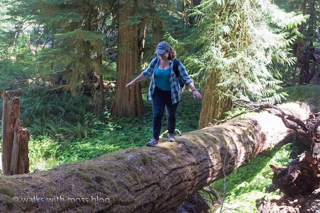
 |
| four stream at the crossing |
Anyone who studies the history of early European exploration of the Olympics has heard of the O'Neil expeditions and Jumbo's Leap.
Today we made a difficult off trail trek to the locally famous site where Jumbo made his desperate leap.
We had a nice break at the beautiful Blue Blue Blue swimming hole before we made the final brush crash to Jumbo's Leap. We found a few O'Neil trail makers that boy scouts left in in the early 1980's. We also found some old ribbons and some traces of a trail.
We think the reports might have been a bit exaggerated because we could find no obvious signs of disturbance. We only saw a few stumps and it was hard to tell if they had been cut.
About the person who wrote the trip report:
Harry Fisher was a pseudonym, under which he had re-enlisted, after being court-marshalled and dishonorably discharged for drunkenness under his true name, James B. Hanmore. But he provides us with the most articulate, detailed and humorous account of O'Neil's expedition.
http://www.nwhikers.net/forums/viewtopic.php?t=7996666&highlight=jumbos+leap
We saw no 5 foot diameter trees in that area at all. If nothing else, they exaggerated about the size of the trees they cut down. Five foot diameter trees just don't grow on that rocky slope.
Also, did Jumbo really leap in or was he thrown in?
We did make it to the confluence of the North Fork Skokomish and Five Stream, so we must have been in the right spot. We could see a pretty waterfall way down there. Getting a clear picture of the leap area was not easy and we had to sit on a bank with a very limited view to eat our lunch.
We really wanted to go up and find the foot log that crosses five stream but we knew we did not have enough time. The route back out was longer as we found more trail makers but they took us up too high and we had to pick our way back down. Looking back on it, I think the trail may have gone around the back side of a small cliff.
We hiked out well after dark thanks to some route finding issues, rough terrain, four breaks, and some side trips.
I don't know if we will ever hike the portion from four stream to the blue blue blue again. We might go back in September when the water is low and look for that bridge over five stream. When the water is low we can take the main trail and cross the Skokomish near the Blue Blue Blue. Crossing there will save us from a lot of difficult brush crashing and might get us out before dark.
More on this here: http://www.washingtonhistory.org/files/library/oneill-expedition.pdf
8 miles with 450 feet elevation gain from the trail head.
 |
| Trail marker from boy scout trip |
 |
| Phil cooling off at the Blue Blue Blue |
 |
| Log crossing near the end of the four stream trail |
 |
| a stump left by the O'Neil party? This is at Jumbo's Leap |
 |
| Just upstream from Jumbo's Leap. This picture really does not show how deep it is |
 |
| Fireweed in a burned area near Four Stream |
 |
| Washed out area near the confluence of four stream and the North Fork Skokomish |
 |
| From the boyscout guide kindly uploaded to Northwest hikers by Phil |
 |
| Slime mold |
 |
| Near Jumbo's Leap |
 |
| This is where the fun starts |

No comments:
Post a Comment