
We stopped for
pie and hiking snacks in Featherston. We
love the pie shop in Featherston.
We split up
a few miles into the hike and I went onto a little stream and then a bit past
it before I turned around and had lunch at a stream at the valley bottom.
Access to
the trail is at a tiny parking spot down a steep incline just past the entrance
to the Devon farm. From there you have a
nice style to go over and a nice little bridge to get you onto a path that runs
between two fields.
Shortly
after cross the stream on a bridge you are forced to cross a creek/irrigation
ditch with no bridge. You are certain to
get wet feet. Since the grass was so wet
I opted to just leave my shoes on and cross.
I knew that grass would have my feet wet in no time anyway.
After the
crossing the ditch we followed the creek as it passed between two fence lines. There were cows watching us on either side. After about 1K we came to a barbed wire fence
with no gate or style. We had to carefully
climb over the barbed wire. I was not at
all happy about the lack of an easy way to continue on the trail. I was afraid we might have to turn back, but
we made it over the fence and then onto another bridge and another gate.
Next the
trail traverses through ridge that forms a peninsula of beech forest in the cow
pastures. About another K into the
forest the trail reaches a gate and after the gate it is clear that the next
bit of the trail is an old road.
Shortly
after getting off the old road section and back onto trail my hiking partner encouraged
me to go ahead without her. We made
plans to both turn around at 3pm no matter where we where so we could meet each
other on the way out.
So I went
ahead on my own but I was a bit worried about my partner she is new to hiking
and could make a wrong turn. But I knew
that she would stop if the trail got beyond her comfort level.
The trail
did just that after rising up to a viewpoint of the sea then beginning to drop
down into a valley. Just beyond the top
of a trail is a difficult to traverse fallen tree and after that the trail
becomes a narrow washed out and overgrown ledge. I had to travel very carefully to avoid
slipping down. The trail was well marked
so I only had to pause to figure out the route a few times. I am very experienced at off trail travel and
travel on faint trails. I knew where to
look for switchbacks where many hikers might not know to look and might lose
the trail.
I decided to make the valley bottom my turn around as it was clear that due to the state of the trail we would not make it to the Wharepapa Hut. It seems that the best way to reach this hut is to walk up the Wharepapa river.
Getting down
to the creek was a bit daunting the trail dropped straight down a tall bank and
I was not sure if I could climb back up it if I went down it. I found that there was a sturdy enough root
for me to hold onto on the way back up, so down I went.
After the
creek the trail drops into a dark narrow valley with lots of little trees in
it. I travelled up that to little stream
and decided to call it a hike. I turned
back at 2pm and had lunch at the first creek and then headed back up.
I caught up
with my partner just after the highpoint with the view. She had turned around there and was headed
back but she was quite a ways below the trail at that point. No doubt she would have found her way back to
the trail eventually though. She had
detoured to go around a fallen tree in the same spot I had just scrambled over
the tree without making a detour.
I was
thankful that I found her before she went any further down the hill. She was clearly headed in the wrong direction
and did not realize it until she saw me on the trail.
On the way
back we tried to find a way to avoid having to cross the creek/irrigation
ditch. No luck and it was running higher
so I took off my shoes and crossed in my crocks.
My partner
opted to cross in her boots and have wet feet for the hour long drive
home.
We were both
very tired even though this was not a very long hike for us.
There was a
sign at the bottom of the Remutaka hill warning that highway 2 was closed, but
it was not closed, there was a detour in place due to a fatal accident earlier in
the day. Luckily I looked it up on the
transport website and read that it was just a detour so we did not have to
spend the night in Featherston.
7 miles with
700 feet elevation gain for me


 |
| She went under this wire, I went over it |


 |
| Lobaria lichen |


 |
| My partner turned back here |

 |
| Over grown trail |

 |
| Dark valley after the creek |

 |
| Where I turned back |


 |
| Trail was a bit hard to follow here |
 |
| Wood ear mushrooms, good for dinner |

 |
| Lunchtime Sadly I left my sock in a bush to dry and forgot them here. |
 |
| Steep gully leading to creek |
 |
| Steep gully leading to creek |
 |
| Steep gully leading to creek |
 |

 |
| My ap said this is an Easter Orchid |


 |
| Little used trail is grown over with moss |
 |
| Ferns grow up ferns here |
 |
Supple Jack |


 |
| Perfect cushion of "pen cushion" moss Leucobryum glaucum |


 |
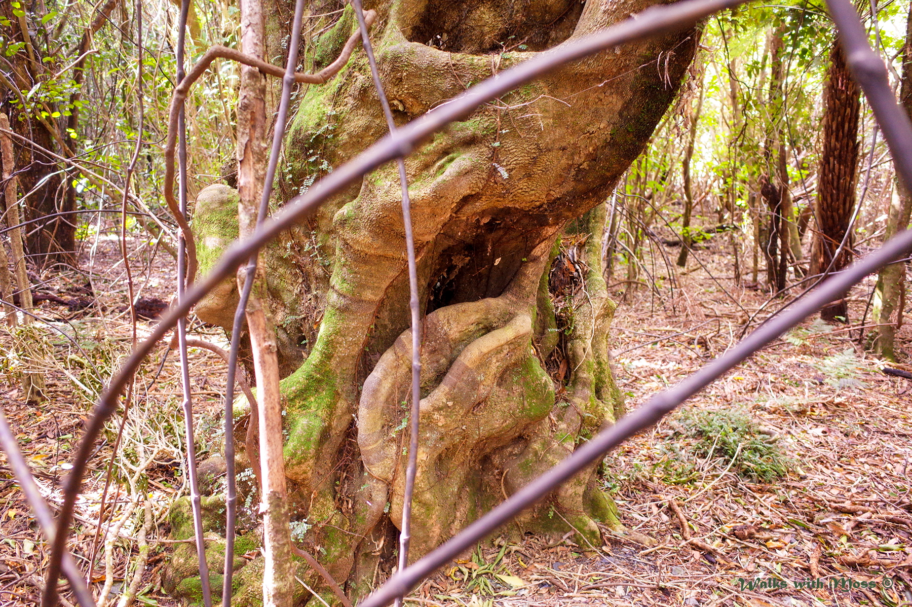
| Southern Beech forest |


 |
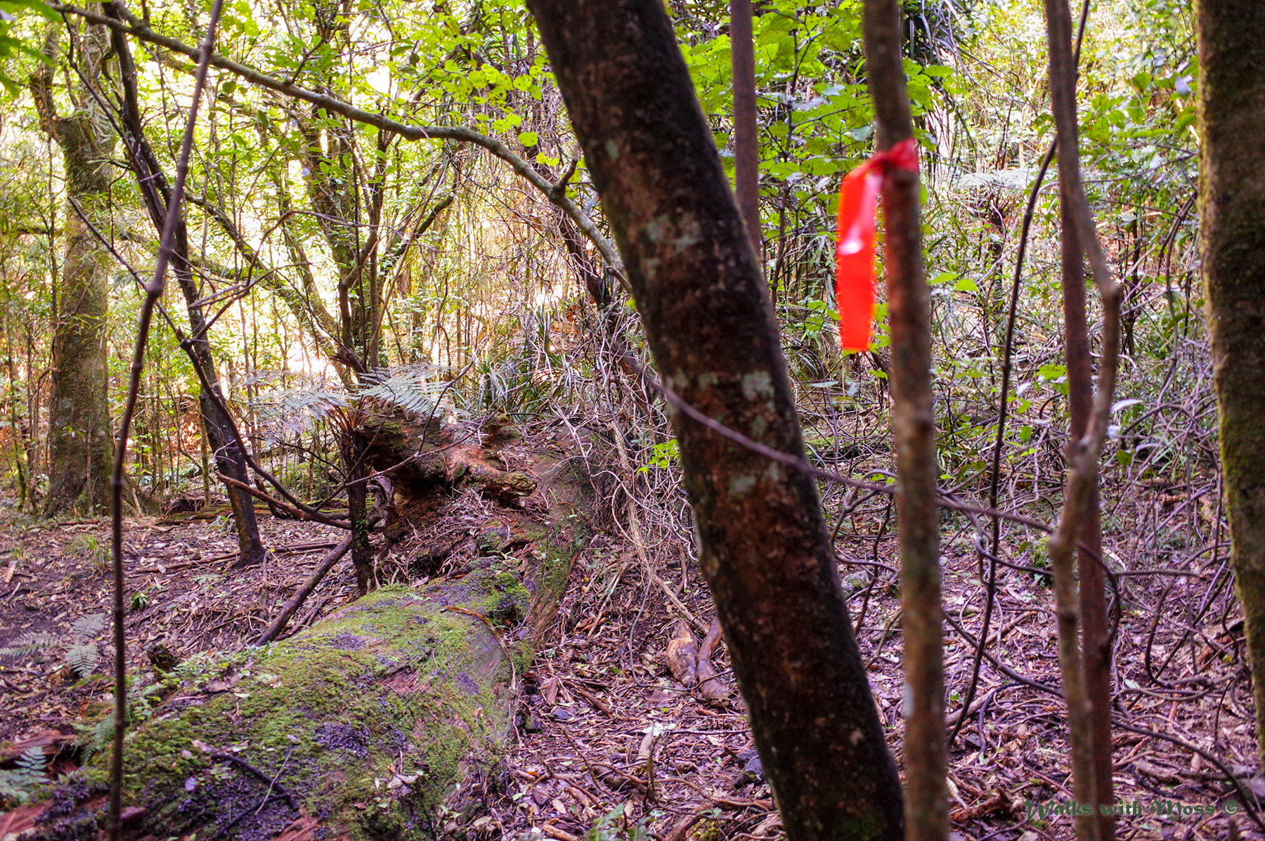
| Orange trail marker on a barbed wire fence |


No comments:
Post a Comment