Monday, December 7, 2020

South Mountain Plane Crash Site


Bike freshly tuned up and working better than ever!

I did it!  I went back to South Mountain, found the site of an old plane wreck and did not crash my bike!

Sadly I do not have a lot of photos to share.  Between preparing to move and cracking my bike helmet the last time I was on South Mountain, I've been very scatterbrained.

Also the two year anniversary of my husband's death is this week.  I found him on the floor a few minutes after midnight.  Last year I got away for this anniversary, but this year I will be home.

I got to meet blog follower LJ Thorson this week too.  How exciting!  So nice to meet you LJ!

I had some trouble finding the plaque so I called up Cye Laramie and he helped me find it. I was up too high on the ridge looking for it.  I did way more work than I needed to, but it was fun.

I released a bit of Patches into the wind at a viewpoint where I ate lunch.  Patches went up South Mountain with me a few times. 


The gate was open but I parked here anyway


Thrashing around off road looking for the plaque


Nice View of the Skokomish Valley, lots of dirt on my Ricoh GRII image sensor


Amazing colors up there all day. I love this time of year.


Friday, December 4, 2020

Haven Lake with Patches

Patches at Haven Lake in 2016 Patches died this same year


I've not been to Haven Lake in a long time since the 800 line is mostly red dotted now.  Thanks to the popularity of the Vance Creek Bridge (I think) the 800 line and the evacuation route are red dotted for most of the year.

Right now only the gate that leads directly to the path that goes to the far side of the Vance Creek Bridge is shut.  I've heard the path there is heavily marked with no trespassing signs. 

This hike is entirely a road walk and it offers a bit of solitude. I'm only blogging about it because I am probably about to move and won't need to protect my solitude in the Olympics after that.

There is a really good view of the Vance Creek Bridge from the road leading to the lake.


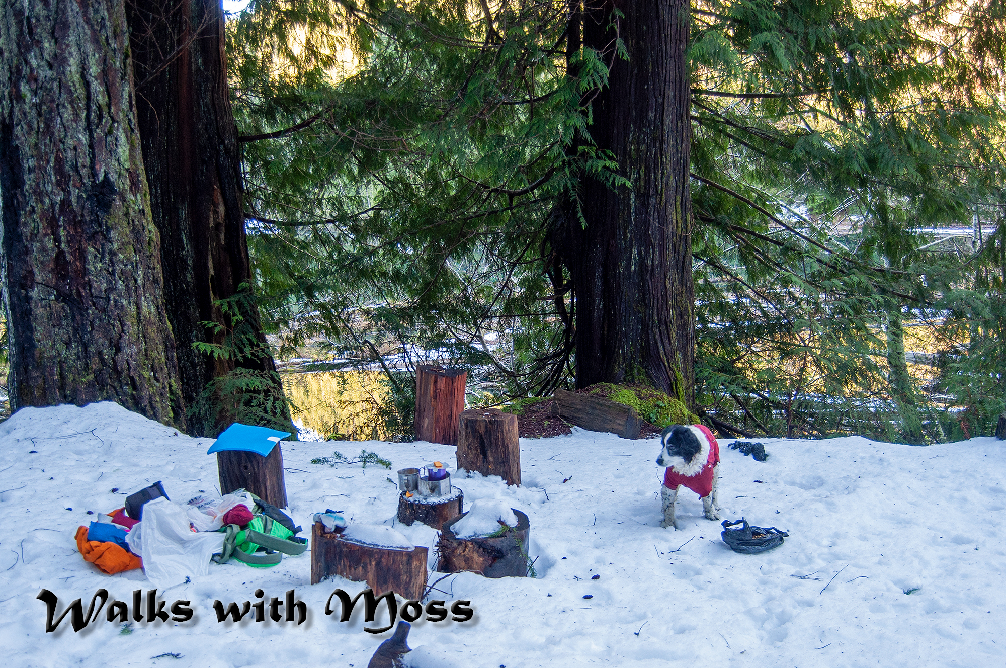
At the lake I brush crashed on a way trail on the far shore for a bit.  The woods there are nice and I found some late chanterelles.  I had my lunch at the old car pull out but fist I hid some of the trash from my view.

The car pullout is the only place to sit with a good clear view of the lake but the area is trashed and does not feel very nice.

I ran out of light on the way back, short winter days are hard on a mushroom hunting night owl.  I get caught out in the dark quite often. 

I could not decide where to spread Patches ashes because we went together to so many wonderful places.  Instead I have decided to leave little bits of her in special places over the next few months. 

7 miles 500 feet elevation gain


Stay away from this side of the Vance Creek Bridge it is well posted and is dangerous.  Visitation is only allowed on the other side of the bridge.  Still struggling with bloggers new photo format and don't have the caption option figured out yet.


Not the Vance Creek Bridge.  


Looking up to the about the site of an old airplane crash 
a landslide took the debris away.  

Falls Creek

Snow capped Mount Ellinor.  Very little snow for December!


I think this is a pile of dog ashes that someone left very recently
It seems that Patches will have company here.

A bit of Patches waiting to go for a swim with the next rain


2011 Patches Haven Lake

2016 Patches Haven Lake


Saturday, November 28, 2020

South Mountian Turkey Crash and Burn on a bike 2020


I decided to once again burn the turkey on South Mountain, but this time I brought my bike.    I have brand new bike bags that I wanted to test out.

My plan was to push my bike up to the snow line and then hike the rest of the way to the top.  Before I arrived at parking I saw that there did not appear to be any snow on the mountain.  So I left my boots in the car and pushed my bike up to the top while wearing trail runners.  I decided I would do the entire ridge loop since I had my bike and there was no snow.

There has been a lot of logging since the last time I went up.  Parts of the route were kind of hard to recognize.  Pushing my bike up to the top was a lot of work.  When I got to the top with my bike, I was not rewarded with a view, the top was in the clouds.  It was very windy at the top too.

I continued along the ridge line and had my lunch in a spot with a slight view of the interior of the Olympics.   I visited the tower arrays along the way.

The best view of the day was just on the way back down where the Skokomish valley was spread out at my feet.  I could also see Seattle and Mount Rainer in the distance.  

It was a long, long coast back down the mountain and I went really slow since I've had more than my share of bike crashes.  My hands started to cramp up from braking even with my fancy disk brakes.

Just when I was almost to the bottom I decided to adjust my right hand glove and took my right hand off the handle bar.  Of course it was just then then I saw a rock and a pot hole I needed to dodge.  I put on my brake with juts my left hand and boom, the bike stopped and I went over the handle bars.  I hit my head and scraped my face.  Blood was dripping down my nose.  

I was 2 miles from the car and I was afraid of going into shock, so I pedaled about a mile before I got out my phone and took a look at my face with the selfie camera.  The damage to my face was not as bad as I imagined but it was hard to see with mud and blood on my reading glasses.

I drove home then got a good look in the mirror and decided to go to the walk in clinic at Mason General Hospital, no called "Mason Health".  At the walk in clinic they took me to a room and made me wait and wait and wait while they decided if they wanted to treat me or send me the the ER.  I don't thein they ever had any intention of treating me there.  They stalled and stalled until it was almost closing time for the walk in clinic.  Then they told me that I needed to go to the ER instead because I might have a concussion. 

I assumed they would put me in a wheel chair and push me to the ER if I was really suspected of being so badly injured.  But no, they expected me to walk back out to my car and then drive out onto the street and around the hospital to the ER and then walk into the ER.  WTF??  Obviously they did not think I was in too bad of shape!

The ER was thankfully empty and they got me right in but then I had to wait and wait for a doctor to see me.  They decided I did not need stitches so they put two Band-Aids on my face and sent me home.   I'm a bit pissed off that I was forced to go the the ER to get Band-Aids.  Those are going to be some expensive  Band-Aids. 

I'm a bit pissed off.  The trip to the ER is going to cost me a lot of money since my insurance is so crappy that the hospital will not accept its assigned rates.  The trip to the ER also cost me a lot of time and potentially exposed me and my minor child to COVID-19.   I was certainly exposed to more people that need be when they shuffled me over the the ER instead of treating me at the walk in clinic.

Also going to that ER is a bit triggering for me since I had to take my husband there so many times when he was dying.

4 miles and about 2,500 feet up a good turkey burn. 


                                      My clockwise route


Near the end of the route


Skokomish Valley


   A moss that only grows on dung


I think this was all trees the last time I was here


Saturday, November 21, 2020

Hike and Bike off CLQ Road


                                             Lunch / Dinner at one of the Mud Lakes


Sage is not fit to hike anymore so I am taking advantage of not having a dog to hike with me and riding my bike instead.  It is fun to find out how much faster I can cover the distance on my bike and it is easier on my joints than walking.   

I like riding my bike but it scares me too.  I've had a few bad bike accidents in my life resulting in chipped teeth, broken bones and a sprained ankle that never fully recovered.

Today I wanted to go up a hill that is near another hill that I like to hike up.  I plotted my route with Mapsource and Google Earth.   My Mapsource map turned out to be too old and I had to turn back short of my goal, but I had a great time anyway. 

Today was the last day of modern firearm season and it was a Saturday, so lots of hunters were out prowling in there trucks.  I wish I had remembered to wear bright colors.
13 miles 200 feet elevation gain


                                The end of the road and almost the end of the road for me
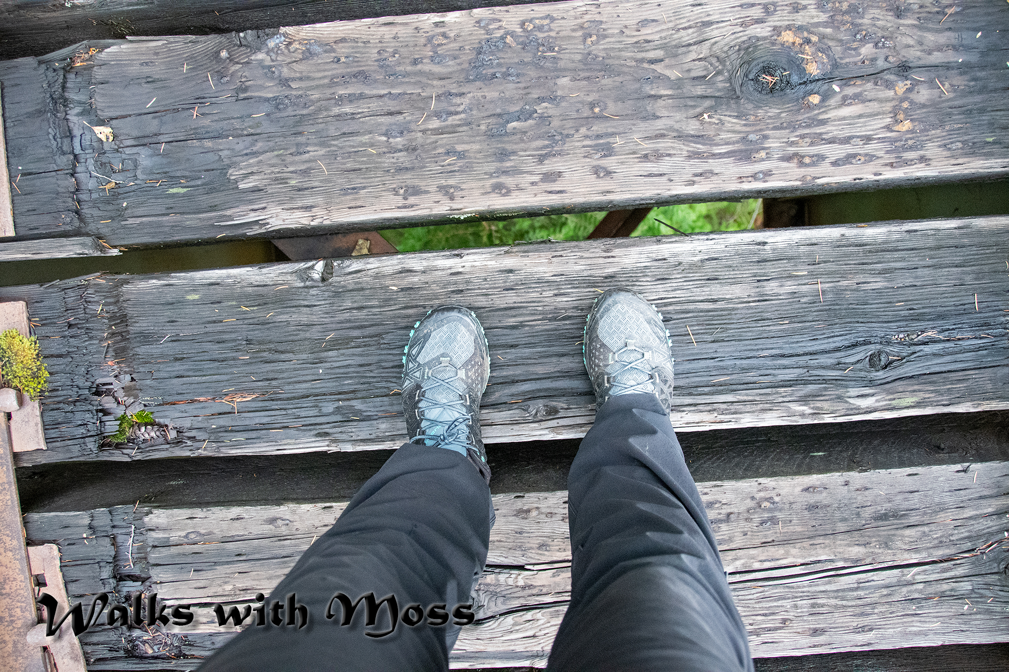
                                                     I took my shoes off and pushed my bike across this only to find                                                                 another just like it.  I turned back when the map showed me there may               be a few more of these crossings on my route. 


                                                      Today's journey.  I did some side explorations when I could not make my intended goal.