Wednesday, September 16, 2015

Siltcoos Lake Trail


This trail is just south of Dunes City Oregon.  It is a loop trail and according to the sign it is a 4 mile trek.  My GPS track log put it at 3.8 miles.  I hiked this trail twice last week.

The first time it was later in the day and I did not have my headlamp with me.  I was not sure if I wanted to do the entire trail, but I did and I made it out with plenty of daylight left.  I found a few geocaches and there were a couple of caches that I could not find.  I decided to do the trail again when I was not in such a rush.


Three days later I hiked the trail a second time and I found one of the two geocaches that I did not find in the first trip.  I gave myself plenty of time so I walked slowly taking pictures and hunting mushrooms.

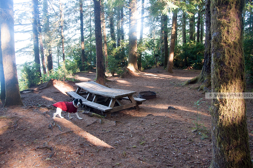
The trail head is right on highway 101 and the trail heads straight to some campsites on Siltcoos Lake.  The campsites have picnic tables, fire pits and pit toilets. Hiking in to camp here would save on campground fees but I might be leery about leaving my car overnight at a trail head that is so close to a major highway.

This is a fun and popular little trail, a good leg stretcher when you're not feeling too ambitious.

Total for two hikes was about 7.5 miles including a side trip to an old look out site.


Nice second growth spruce

At the old look out site not on the trail
Stumps are everywhere to remind you of how majestic
the forest here once was


The trail head sign claims that you can hardly tell this forest was logged


Add caption

A geocache


Thursday, September 3, 2015

Mole Stroll for the Soul


Delicate fall colors on a vine maple tree


The gates are still open, so I decided to take advantage of that fact and I started my hike at Camp Comfort on the South Fork Skokomish River.  The Lower trail is nicest near the lower trail head but I've seen that section of the trail many times, so I decided to hike the middle section to the river ford.  There used to be a bridge over the Skok but it washed out many years ago.

Just as I was about to get out of my car the skies opened up, so I hid out in my car for about ten minutes.  The hike was uneventful and the scenery was not terribly inspiring, but it was very good for me to get out of the house.

For lunch I had a sandwich made with smoked cheese from Grocery Outlet, a cup of Vina Cafe three in one coffee and a package of gummy bears.

I packed my Nikon D90 with an 18-55 3.5-5.6 lens.

8 miles with 800 feet elevation gain

Laetiporus conifericola aka "Chicken of the Woods"

Drought killed trees on the river bank

First Chanterelle mushroom of the year Cantharellus subalbidus the "white chanterelle"

Fungi growing on a leaf, maybe some bacteria too make it pretty

The powerline fire was still smoldering a bit

Wednesday, August 26, 2015

North Fork Skokomish


Wow, it's been nearly a month since I have hiked!  My mother's death has turned my world up-side-down.  I decided to ease back into hiking with a short trip up the North Fork Skokomish.  The river is very low due to drought, but at least the river seems to have a glacier to feed it.  The South Fork does not have a glacier and I suspect that it is even lower now.

On the Lincoln way trail
The blue blue blue
On the home front Patches has a bad limp and will be going to the vet soon.  I wonder how much longer she will be able to hike.  She's my best hiking partner by far.   Unlike some of my other hiking partners over the years, she never double crosses me or tries to hump me, well almost never anyway.  She's always so eager to go and she never pouts about snow or rain, she just gets it done.

I could not bring Patches on this hike with to her limp so I opted to go into the National Park where dogs are not allowed to go anyway.  She was so sad when I left her behind.

Still on the home front,  my spouse is still quite ill but he's alive.  A "friend" of mine rifled through my dead mother's possessions and then proceeded to steal all of her 22 ammo.  This same friend also not only revealed a secret location that he was sworn to secrecy to never share, he went so far as to place a geocache there while still pretending to be my friend..  With friends like that, you don't need enemies.


The blue blue blue

Cushman Falls is low


Forest Fire Haze


River is quite low and green at Beaver Burn


Darlingtonia picture plant with spider web


Saturday, August 1, 2015

Dosewallips Road

A drama free road hike with a friend.