Tuesday, July 29, 2014

Base pack weight for my next hike


I took everything out of my pack and weighed it on my digital scale and then added it all up to get my base pack weight.  I think I can be proud of getting my base pack weight down to15.5 pounds including a DSLR Camera and a 3 person tarp tent.

I think the most I will ever carry including food, fuel, pack and base weight will be 33 pounds and that will be on the first day of the hike.  The hike starts with a 27 mile waterless section.  I will need to carry one gallon of water for that.  One gallon of water weighs 8 pounds.  I will try to set out two water caches for us so we can get by with 1/2 gallon of water.  The the most my pack will ever weigh will still be on the first day and it will be 29 pounds.

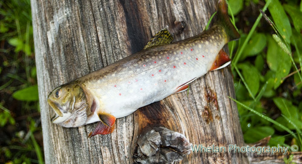
We will start out with six days worth of food, that will be ten pounds each.  I don't know if it will be enough.  If it is not enough we will just have to hike faster because we can't carry anymore food than that.

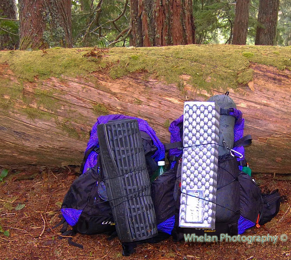
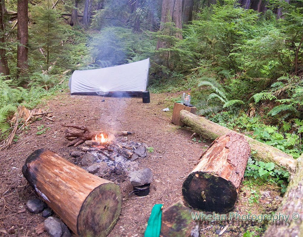
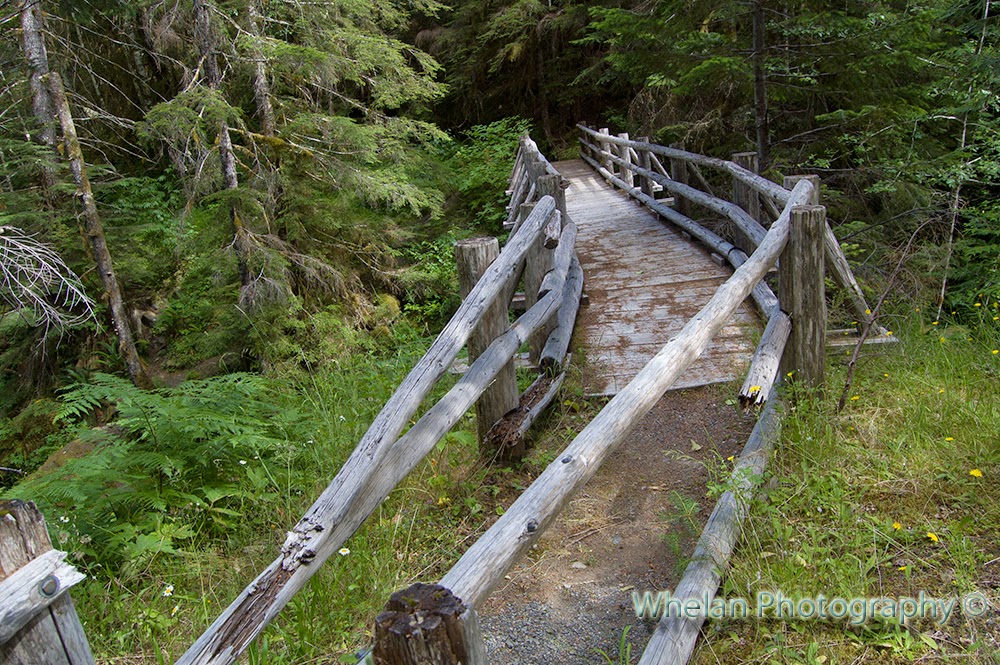
I will carry a 3 person tarp tent because that is what I have.  My heaviest item will be the clothes in my pack and that surprised me a bit.  We will both carry full rain gear.  I don't want to ever be in a position where we have to either hike or get hypothermia.  I'm hiking with a child, I want us to be able to bunker down and withstand the rain and cold if we need to.  My three person tarp tent will help with that.

Clothes, not always worn, rain gear, base layer etc.. 64
Shires Original Rainshadow tarp tent with 6 stakes 43
REI Magma 7 degree 800 fill down Sleeping Bag in sack 41
Camera Nikon D40 w 18-100 lens, case, wp bag, extra bat, lens cloth, 3 sd cards 32
Ti pot, Ti cup, cat stove, 2 lighters, hot lips, screan stand, bag 13
First aid, meds, toiletries, tooth brush.. Etc 10
Delorme 7
GPS with batteries in 7
UR old skool bear sack 6
Headlamp and 3 extra li aaa battery 5.1
sawer filter, 1 liter bag, small towel 5
Sunglasses, Deet, Sun screan carried in hip belt pocket 3
P-Style with homemade pee rag/bag/emergency pad and biner 2.2
3 liter playpus w 2 caps 2
2 1 liter gatoraide bottles 2
TP in bag 2
Plastic ground cloth 0.7
Empty plastic bottle for fuel 0.5
note pad and pen 0.5
spoon long handle ti with biner 0.5
3 feet of paracord 0.3
246.8
Total in pounds 15.425


Clothes in my pack, 2 pair socks, rain coat, rain pants, 1 pair gloves, sun hat, insulating hat, shorts, fleece top,  and a base layer top and a baselayer bottom.  I intend to sleep in my base layer and only hike in it if it's really cold.

Preparing for the PCT

We plan to hike from Crater Lake to the Washington Border on the PCT.  We leave on Sunday.  I put our first resupply package in the mail today so now it feels real.  I had to drive to Olympia and it cost me $22 to send a 20 pound package with 6 days worth of food in it.  1.6 pound of food per day, I think I did well.

I had not expected postage to be quite so high.  I wonder how anyone can afford to do the entire trail?

We also stopped at REI to get new superfeet insoles.  My super feet are totally shot with hundred's of miles and several years on  them.  My daughter has never had a pair of superfeet.  She says that her arch hurts after long hikes and I think green superfeet will help with that.

We got our new shoes in the mail on Monday, Brooks Cascadia brand.  I got mine 1/2 size to big and hers 1 size too big.  I figure my feet are already pretty big from hiking and I already wear huge shoes so I only got mine 1/2 size bigger.  Her feet are not so big from hiking plus she is still growing so I got her 1 full size too big. 

They say that your feet grow from 1/2 to 11/2 sizes larger when you do a through hike, that is why I got large shoes.  My old superfeet did not fit in such large shoes, so I had to get a bigger set.  That's okay though because I can trim them down after the trip to fit my normal shoe size.

They just hoisted a hiker up out of the canyon below the high steel bridge, reports say he has a broken leg.  The high bridges are very popular this year and I am not surprised that stuff like this is happening.  Someone needs to be rescued from under the high steel bridge about every other year anyway.

I had to take money out of savings to buy all of this stuff.  I figure it's better to spend some of the money now while I am young enough to do these kind of things and while my daughter is still willing.  Our monthly income still puts us at the poverty level thanks to my spouse only getting $245 a month in Social security retirement income.

At least my arsehole father can rest easy now knowing that his obligation as a sponsor is over.  Once a person has earned enough to get social security in this country they no longer need a sponsor.

Sunday, July 27, 2014

Ultralight Adventure Equipment (ULA) Circuit 2014 Short Term Review


packed up after a one night trip, here I have the
tarp tent in the front mesh pocket of my pack


We have taken our ULA circuit packs on 5-6 trips now for close to 200 miles and about a two dozen nights.  So far we have no complaints with these packs.  I have not yet cut off the water bottle straps or anything else for that matter.  I'm okay with the long straps on the load lifters and on the hip belt.

I have now used the water bottle holders on the shoulder straps and found them useful for freeing up room in the pockets.  I have a rather bulky 3 person tarp tent , so I like the extra space.

This pack will hold a Garcia bear can vertically. I wish I could take it horizontally, maybe the large size could?  Mine is an adult size small with a large hipbelt.  I hope to fit into a medium hipbelt by the time we are done with our PCT section hike.

It can hold my large bearcan, my tarptent and all my clothes at once.  When the bear can is empty then I can stuff all my clothes into the bear can and then my sleeping bag fits into the pack too.

This picture was taken at the end of our last trip:

The pack on the right it mine.  My original Garcia bearcan, my tarptent and my sleeping bag are all inside the pack.  Most of my clothes are stuffed into the bear can.  The side pockets can hold a large gatoraide bottle.  I don't drink the stuff, I just like the bottles.

The hip belt pockets can hold a GPS and a Delorme at the same time.  When I first got this pack I was worried that it might be a little bit too small, but not now that I have my daughter carry her half of the food bulk. 

On the left is my daughters kids sized circuit adjusted to the shortest setting.  It might be time to adjust her pack soon.  The pack will grow with her and I love that.  I'll never had to buy her another pack.

These are tough packs that carry the amount of weight we want well.  My base pack weight is about 15 pounds including a DSLR camera and a three person tarp tent.  I use a pop can stove a tarp tent and the best sleeping bag I could afford in order to save weight.  I have carried six days worth of food with this pack and the pack carried it well.

The only spot on my pack that I am wondering about is where the Y strap that goes over the top of the pack is sewn to the pack.  I've been trying not to cinch my sleeping bag down too tight when I have to carry it on top.  It might be a good strong seam, but the outside looks like a stitch might be getting a bit loose.  It's probably okay on the inside though.

I have not decided if I like having so many ways to close the top.  Roll it up or cinch it down?  I like to cinch it down to be on the safe side.  I don't want to lose any of my stuff.  In the picture my daughter's pack is rolled shut and mine is cinched shut.

One thing about this pack that I do not like is the gap in the side pockets where the hip belt goes it.  Small items can fall out of these pockets. 

If you're in doubt about this pack I say go ahead and buy it.  I have no regrets at all.  ULA packs come with excellent customer support. 

Friday, July 25, 2014

Coming full circle on the high divide -day 6 hiking out


Day 6 Barnes Creek Trail to Crescent lake
3 miles 1,100 feet elevation loss


Banana slugs making the Ying and Yang symbol
We had a bus to catch at 10:20, the bus stop was three miles down the trail.  I did not want to take any chances of missing the bus, there is only one connection each day that will get us home from Crescent Lake. 

I got up at 5:30 and had a relaxed cup of coffee before I woke up my daughter and served breakfast.  Breakfast was a dinner that we had left over.  All of our actual lunch and breakfast food had already been eaten. 

We left our lovely little camp site at 7am and began to hike down.  The trail immediately lost 1,100 feet in elevation and deposited us on the banks of Barnes Creek where the trail goes up and down.    There are several bridges on the trail, two had rotten hand rails but the actual bridges were solid.


Long brigde on Barnes Creek Trail


Rotten Bolete


Tunnel to the other side

 
We made it down to the 8 foot wide trail that parallels the highway at about 9am. We went through the tunnel under the road and crossed over into the human world. We found the bathrooms and I was in awe of soap. Wonderful soap. I had been six days without soap. We cleaned up a bit for our bus ride home and then we began to look for the bus stop.

I did not like walking down the side of the highway looking for the bus stop as logging trucks roared past.  I was happy to find that the bus stop had a rustic bench.  We were both tired and hungry, we had over did it the day before.  I had one package of M&M's left, I produced it at the bus stop and we shared it.


Our bus stop and our ULA Circuit packs.
Kid sized pack on left and adult small on right.
My garcia bear can, our tarptent and my sleeping bag
fit in my pack the last  two days because I was able
to stuff all of my clothes into the mostly empty bear can.
Soon a Clallam transit bus stopped on the other side of the  highway and dropped of 25 school children with two adults.  All the children rushed into the woods and disappeared and the bus left.  Wait?  Did that even happen?  All was silent again.  There was no proof that that had even happened.

Then suddenly all the kids appeared on our side of the road!  There was another tunnel under the road that the kids had taken to get to our side. 

Then one of the adults came towards us, she said they were a summer school class and they could not take kids across the highway so they had to ride the bus to the tunnel take them under the road and then catch a bus back in the other direction to their destination at Fishers bluff.

  Yep, you guessed it those 25 school children got on the bus with us and here I thought that this was a desolate bus stop in the middle of nowhere.  I guess it was a gentle enough re-entry, the children were all very nice.

Callam transit drops off 25 young children across the highway
We were hungry and we did not have a lay over at our first transfer in Port Angeles.  We had to wait until we got off our second bus in Sequim before we could eat.

Changing buses in Port Angeles

Pack on Clallam Transit luggage rack

In Sequim we had fried chicken to go.  It cost $2.50 for one breast but it was so good, it was worth it.


Lunch
 We also had a short layover in Port Towsend so we popped into Safeway and bought some food.  I like that the Jefferson Transit center is next to a large grocery store!
Jefferson Transit Center
 I met a bunch of interesting people on our bus rides including a man from Neah Bay who was commuting to Seattle by bus, his spouse was also terminally ill with the same illness and could not drive him around.  His spouse had even lost her job the same month that my spouse lost his job.

On the final ride home  I met two people from Olympia who had huge backpacks and had been in the San Jaun islands playing music, they too were looking forward to going home and taking showers.  We talked about mushrooms and wine making.   I bet they were Greeners.

We got home at 4:15 and my spouse was waiting for us on the front porch.


Coming full circle on the high divide -day 5 the primitive trail


Day 5 Olympic Hot Springs to Barnes Creek
13  miles (I don't care what the map said, it was 13 miles dammit!) with 3,000 feet elevation gain and 3,500 feet of elevation loss

We got up early and hit the trail at 6am.  I still had a touch of the migraine from the night before, the nausea was gone but I had a mild headache so I took one of my migraine pills, figuring just one would do it. 

We had a long day ahead of us.  We had to leave a day early so we would not run out of food, so instead of doing just 3 miles to Boulder Lake we needed to go about 13 miles to Lake Crescent to position ourselves to take the bus back home the next day.  My goal was to get within one mile of the bus stop.

My daughter was not a happy hiker as we headed up and out of Olympic Hot springs.   She went on strike; she kept sitting down and saying there was no way she could do the hike all the way out today.  I did not know what was going to happen, we were fresh from resting up the day before and should have been strong and ready for this hike, but my daughter was not going to make it at this rate.   What was I going to do?  Staying at Boulder Lake was not an option, we just did not have a enough food for that.  We had to get out, but how?  How could we ever hike out with my daughter flopping herself down and the trail over and over and refusing to budge after just 1/4 of a mile?

Boulder Lake
I changed my psychology.  I told my daughter Okay, we will camp at Boulder Lake today and not hike all the way out even though it means that we will run out of food. 

 I would let her have the last of the food and I would go hungry.  My daughter cheered up; soon she was rushing down the trail ahead of me and singing and I could barely even keep up with her. 

Then something I was hoping for happened.  My daughter came around; she said she thought we should take a break at Boulder Lake so she could look for frogs and then we should try to hike out.   I said that I thought that was a good idea.  With the idea of hiking all the way out now her idea instead of my idea, she was happy to do it.  Wow, what a difference.  That little bit of psychology saved the day.

Boulder lake
We were a little bit cold leaving Olympic Hot Springs and then we had to climb up 2000 feet to Boulder Lake that sits at 4,500 feet.  Boulder Lake was big and cold and in the clouds.  My daughter explored the lake shore while I searched for the pit toilet.  The flowers and grasses in the meadow were tall and wet, soon my pants and boots were soaked.  We both got cold at the lake and knew that even if we had enough food we would not want to stay there.

By the time we got to the lake my migraine was gone.

Brook Trout
We found a dead trout on the shore and my daughter moved it to a log,  it had pretty red spots.  We were told that a troop of boy scouts had camped there two nights before, but we could see no sign of them being there.  I think the fish was a brook trout.

Brook Trout
I tanked up on water before we left the lake as there was to be no water on the trail for at least the next five miles.  We left the lake with five and a half quarts of water between us.   Almost immediately I had to dump some of the water out because my bear can and a full 3 liter platypus will not fit in my pack at the same time.  The bear can takes up my entire pack and forces my  platypus to move over the the side in a way that is not comfortable to carry.
We left Boulder Lake and headed up the trail that said “Happy Lake”.  That was the only sign and we were not going to Happy Lake, but I knew that we would be on the Happy Lake trail for a bit.  Another sign mentioning Aurora ridge or Lake Crescent would have been comforting.   

 Soon we were climbing up into lovely meadows and ridges covered with wild flowers.  We were still in a cloud and everything was wet and cold and misty.  I had been warned that this trail was hot and dry, so I was glad for the clouds and I dumped out more of my water.  Now we had three and a half liters of water between us and even that was more than we needed. 
I was very worried about what laid ahead on the Barnes Creek Primitive trail.  Would we really have to drop 4,000 feet down on a short primitive trail?  How was I going to do that without killing my knees?  Would we lose the trail again?  Oh anxiety, my constant companion, I wish I could shake it off.  I convinced myself that we would drop some of the elevation on the ridge trail.  But every time the ridge trail went down, it went right back up again.

It was a beautiful ridge, wild flowers were everywhere and the cloudy weather made the colors more vibrant.  But I kept waiting until later to take pictures of them, I was too anxious about the next segment of our hike.  I never did get any good pictures of the flowers on the narrow ridge trail.


Happy Ridge and Aurora Ridge Junction
Soon we reached the junction of the Happy Lake Ridge trail and the Aurora Ridge trail.  We turned left to follow Aurora Ridge.  The trail was in good shape and flowers were everywhere.  In a couple of places we could not see the trail under our feet but could clearly see it just a few feet ahead of us.  Someone has done a good job of laying branches over the side paths to keep people from accidentally leaving the trail too.
There was much hilarity and silliness as we traversed the ridge.  I was anxious but my daughter was happy go lucky as usual. I released my anxiety with silliness.  Screeching whenever the trail went up hill that I couldn’t do it and condemning the trail for not letting me hike downhill.  Why wouldn’t the trail let me hike downhill?  That was fun.
slightly confusing junction of Aurora Ridge and Aurora Divide trails


Tiger Lilly
Next we reached the three way junction of the Aurora ridge trail and the Barnes Creek primitive trail.  Uh oh, we had not dropped any elevation to speak of and now we would have to go straight downhill on a primitive trail. 

I knew that I needed to turn right here onto the Barnes Creek trail but the sign made no mention of the Barnes Creek trail, it said Aurora Divide trail and Aurora Ridge trail, the sign also said it was 7.2 miles to Lake Crescent on the right and 15 miles Sol Duck straight ahead.  The arrow pointing to the Aurora divide trail was missing as the corner of the sign had rotted away.  Also the sign was leaning on a tree, so no way to know if any of the arrows were pointing in the right direction.

 We turned right, but my GPS said I was on the wrong track, it said I was on the Aurora Divide trail.  This was confusing.  I knew I need to turn right and go down to the lake, but I thought I was supposed to be on the Barnes Creek trail.  I double and triple checked and was never satisfied that I was on the right trail; all I knew for sure is that we were headed for Lake Crescent and that was all that really mattered.  The actual name of the trail did not matter as much as the destination.

Small landslide on Aurora Divide trail


Tarn at the start of Aurora Divide Trail
 

So we headed down the primitive trail not even knowing the trail name.  After about a quarter of a mile I exclaimed to my daughter that this was the most civilized  “primitive” trail that I had ever seen.  It was nice and clear and it had wonderful tight switchbacks that snaked down, down and down.   Perhaps primitive trail means something different in the park than it means in the forest?

I kept expecting the trail to turn primitive, I kept expecting to lose the trail, but we never lost the trail.  All that happened was that we got very tired, but we kept on going until we got to the junction with the Lower Barnes Creek Trail. 

 I looked at the sign that pointed at the trail we had come down and it said Aurora Divide Trail.  Okay, so there was never any need to worry about a primitive trail, it was just that both of my GPS maps at home pegged this trail as the “Barnes Creek Primitive Trail” when it really was the Aurora Divide extremely civilized trail.  My guidebooks that I studied at home did not make the situation any clearer; it just seems to be a confusing area when it comes to the actual names of the trails.

Ah, so we were on the Aurora Divide Trail all this time

One what??
We took our packs off and took a break at a switch back and my daughter lost control of her pack when she was putting it back on.  Her pack fell down the hill and I watched in horror as it began to achieve terminal velocity, bouncing and rolling down the steep mountain side.  This was not good, that pack was going to be gone forever!  It kept going faster and faster, bouncing higher and higher and then it hit a log and stopped rolling.  Whew!  I was sure her pack was going to bounce right over that log.

By this time we were very tired and the trail was longer than expected. My left knee and ankle took a pounding dropping down 3,500 feet on the Aurora Divide trail in spite of all the wonderful switchbacks, I would be limping soon at this rate.

 I was ready to quit for the night, but my daughter wanted to keep going and she was not happy when I made the decision to camp at the most beautiful campsite in the history of entire world, ever.  The camp site was three miles up the Barnes Creek Trail.  It was beautiful because I was so tired and so ready to stop for the night.  It was also beautiful because it had logs to sit on, a river to get water out of and a fire pit with a stack of fire wood next to it.  I did not even care that it was in a creepy little ravine.


Our last camp
 
My daughter was mad that I stopped so she sat on the hill one switchback above the campsite and refused to come down as I fumbled around exhausted setting up camp.  I nearly pitched my tent inside out then I lit a fire and started cooking dinner.  We had been wet and cold all day, the fire was very welcome.   It felt great to dry out my boots and walk around in bare feet. 

 My daughter was being stubborn, she got out her sleeping bag and set it up on the switchback and then she started filtering water and doing everything else she could think up to make it clear that she was setting up camp on the switchback.  I knew she would come around before it got dark, so I ignored her carry on, but told her she was welcome to join me by the campfire at any time.

She was tired too, she accidentally dropped both of her boots and her water bottle down the hill.  Then I watched in silent horror as her sleeping bag in its stuff sack began to roll down the hill and stopped just short of falling in the creek.

I continued to dry out my socks and my boots and to eat dinner while she stayed up on the hillside.  She eventually gathered her stuff together and came down and finished off my dinner. 

 I collapsed into my sleeping bag at about 7pm but I had to get up and walk around some because my legs had started to cramp up.

 We had to hike three miles down to highway 101 to catch our bus at 10:20 the next morning so we both  went to bed early.

Thursday, July 24, 2014

Coming full circle on the high divide -day 4 Rest


Today was a day to rest and relax in the hot springs. We explored the old car campground and the hot spring pools, we rested, we soaked, and we ate two dinners.  I put mole skin on my blister and gave it time to heal.  I tried to relax but could not; PMS was rearing its ugly head.
Some sort of science project is happening in the old car campground, there were little red flags everywhere.  I used flags like that when I studied moss.
At about 1pm a couple arrived at the springs, they had hiked in from Sol Duc spending one night at Appleton Crossing Camp. They told me about the man they saw who had hiked from Olympic Hot Springs to Appleton pass the day before. He said he had camped alone on Appleton pass. How strange that we never saw that man.  We must have crossed paths when we were off trail thrashing in the brush.
I was worried about my hike out on what all of  my maps call the "Upper Barnes Creek Primitive Trail". I knew we had to drop about 4,000 feet on that trail and was worried about dropping so much on a primitive trail.

The man in the party confirmed that the trail would be as bad as the Mildred Lakes trail and it was hard to follow in places. This had me worried for no reason; knowing what I know now, I'm pretty sure that man had either never seen the Mildred Lakes trail or we were talking about two different trails called Barnes Creek.
The pools are mostly filled in with yucky mucky cyano bacteria, they look gross but ironically they are probably more hygienic then ever with the road to the trailhead closed.  I spent a good deal of time cleaning the muck out of the one pool that is below the trail since we were camped right above it.  Scientists think that life on earth started in mucky warm pools like these.
My daughter was hungry all day, but we got to have two dinners since we had skipped dinner the night before.  Our second dinner of the day gave me a migraine.   I guess there was just a little bit too much "natural flavoring" in that soup.
I inventoried the food situation and it was not good. We were scheduled to spend two more nights in the Olympics, one at Boulder Lake and one near Lake Crescent. We had enough dinners left but we were down to just 12 tortillas, Coffee, sugar, some Nido and three bags of M&M's to eat for both lunch and breakfast for two people for two days.  We had just enough peanut butter and Nutella to spread on the 12 remaining tortillas.   This was not going to work.

 I decided that we would have to skip Boulder Lake and head out the next day. If we skipped Boulder Lake we could eat all we wanted to  for the rest of the trip, but if we stayed at Boulder Lake one of us would have to go without eating.

My daughter does not have an ounce of fat on her but I have plenty of fat reserves, so it would be me who would have to go hungry. But I was in the throes of PMS, my hungry time of the month. I was dreading hiking without food and did not think my mental state would be a safe one for hiking if I had to go 48 hours with very little food.
At seven I went to bed with a headache and an upset stomach from our second dinner.  But at least my legs did not hurt after soaking in the pools and taking a day off of hiking.  Every night of the trip my legs had cramped up and twitched and kept me awake due to my periodic limb movement disorder / restless leg syndrome.   On this night my legs felt great.


Bridge over Boulder River is getting dangerous one
plank is about the fall into the river

Bridge over Boulder River

Boulder river from the bridge


They want you to walk here in the old
logged over car campground

Free living cyanobacteria in the pools

Free living cyanobacteria in the pools

Free living cyano bacteria in the pools they
think life on earth started like this


Pooooooooop


Science project in the car campground


Trail / Road to the hotsprings

The upper super hot pool.  The pipe for regulating
the temperature was gone and the pool was very
difficult to reach due to fallen trees

Whoops.. did not see this sign until it was too late


Wednesday, July 23, 2014

Coming full circle on the high divide -day 3 Ghosts on Appleton pass


Day Three Appleton Crossing to Olympic Hot springs
8 miles with 2,100 feet elevation gain
No fridge required bacon, our first time eating it and it was good
We slept in a bit and had bacon for breakfast at Appleton crossing camp on the Sol Duc trail.  We were tired from the day before and I knew that we had a big day ahead of us, so it seemed like the best day to have our one bacon breakfast of the trip.  We started hiking at 10am, but first I had my daughter fill all our water bottles.  Then up the trail we went only to find that the trail crossed the creek, so the special trip for water was pointless. The creek crossing was a little tricky but we both managed to keep our feet dry.


Leaving Appleton pass junction camp in the morning


Reshi conk at rocky creek crossing


As we headed up, up and up to Appleton pass my daughter got tired.  She said I was hiking too fast, but I really only have one hiking speed, my I can maintain this pace all day long speed and if you break my stride I might poke you with my trekking pole speed.  So we kind of leap frogged each other up the trail, me the turtle, her the rabbit.  At one point when she was really lagging I left a bag of M&M’s in the middle of the trail and yelled down to tell her about it.  There were so many switchbacks that we were never really out of each other’s sight. The M&M’s got her up to my level pretty darn quick.

My daughter found a King Bolete on the lower section of the trail.  We have never  before found a King so early in the year.

Near the top we passed by two tarns that were filled with frogs and tadpoles.  The trail up was in excellent shape.  I think we made it to the top at about 2pm.  Appleton pass is where I started my solo hike of the high divide in July of 2003.  My husband was at base camp at Olympic hot springs but he saw me off to Appleton pass. 

We lost each other on the way to Appleton Pass playing the rabbit and turtle game, me being the rabbit this time.  I went ahead of him and took a nap in a campsite next to the river, I never heard or saw him pass me by. 

I waited and waited for him and I was preparing to spend the night in that campsite waiting for him, I even lit a fire hoping he might see the smoke if he had somehow gone ahead of me without me knowing it. 

But the campsite was too creepy and nothing made sense, so just before sunset I decided to hoof it up to Appleton pass to look for him.    I had our only shelter; he would be without a shelter if I did not find him.   I heard him calling for me as I rounded the second to last switchback before the top of the pass and I answered him. 

The switch back my husband ran down in his socks
He ran down the trail in his socks to great me.  I’ll never forget that moment.  We spent two nights on Appleton pass instead of one, since the trip took so much out of us.  We swam in Oyster Lake, we got bit my mosquitos.  Two mornings later I headed for the high divide loop and he headed back to base camp at Olympic Hot Springs.  I got airlifted that evening but it was another two days before I was able to get word to him at Olympic Hot springs that I was in Port Angeles.  He saw the helicopter fly over him having no idea that I was in it. 

Coming back to Appleton pass was emotional for me.  I had been down this trail before but never up it and next I was to go down the side I had gone up but never came back down. 


Appleton pass was so beautiful, there were flowers everywhere.  I wished that I had planned for us to spend the night there instead.  There was not enough food for me to change plans and add a day to our hike so we had to keep moving.  I let my daughter play in Oyster Lake for about half an hour.  All of the tadpoles in the lake had legs and they were all dead.  What had killed all the tadpoles?   

Oyster "lake"
 

Frogs mating in Oyster Lake

Frog eggs in Oyster Lake

All dead tadpoles in Oyster lake


As I left Appleton pass this time with my daughter, I was overcome with emotion, I felt like I was leaving my husband up there on Appleton pass.  I knew he would never get to go up there again and that I had left him there before.  It was with a sense of doom and foreboding disaster that I left Appleton Pass.  I kept looking back up to the pass unable to shake the feeling that I was leaving my husband up there.
Fresh Bear poop in the meadow on the East side of
Appleton Pass


 As we headed into the meadow I heard a noise and I thought it was either human or bear.  There was one set of fresh boot prints on the trail, so I kept expecting to maybe see someone.  As we headed down, the valley grew narrower and the brush got taller and soon we could not see the trail at all.  I knew the trail was below our feet though.  This went on for awhile and then we completely lost the trail.

This is the trail
I was not sure where the trail crossed the river, my GPS said the crossing was close, then we saw a clear trail up the opposite river bank.  But was that really the trail?  It was just a little bit too soon.  I could see no other signs of trail in the meadow, so we crossed the river and headed up the trail we saw on the opposite bank.  The trail climbed up and sort of ended.
  Crap, was this the real trail or was it an animal trail or was it a trail that had been followed by many lost hikers before us ?  Even the real trail was not exactly clear so there was no way to know.  My GPS said the trail was below us but it often is off by a few 100 feet as trails get rerouted and my main map is from 1958 or so. 
I needed to change to my other map and just then I realized that I had lost my reading glasses.   A wave of fear came over me, I had lost the trail, I had no reading glasses and if we did not find the trail fast we would not make it to the hot springs before dark.  I have a hard time seeing my GPS without reading glasses, but I did have an emergency spare set of glasses in my pack.
My daughter did not sense my fear, instead she started screaming about mosquitoes biting her and how I was awful because I did not care that mosquitoes were biting her.  I confirmed that I indeed did not care that mosquitoes were biting her, at that moment all I cared about was finding the trail.


I think we crossed
the creek and went into
the woods too soon.
My other GPS map put the trail in the same place and that place was two contour lines below us, so I started to search for a way down, but it was  too steep.  So I backtracked to the last time I saw the trail (or the not a trail) several times, still never finding the actual trail.  So I pushed ahead until we were able to find a slope that was not too steep.  I also turned on my track log at this time so I would be able to have some idea of where we had gone wrong when we got home.  My daughter did not want to hike down a hill in the brush, she was so slow and I just wanted to find the trail so bad.  Thanks to my GPS I knew where it was, but I was not going to relax until my feet were on it.
 
The woods were the dark, creepy spindly kind and my poor sleeping bag was on the top of my pack thanks to my stupid, ugly, heavy, bear can taking up too much space inside my pack.  Would we find the trail?  Would my sleeping bag survive bushwhacking?  Had I totally screwed up by taking my daughter here and getting us lost, were we going to die here?  Why had I come back to this awful place?
Finally with much prodding I got my daughter to follow me down the hill and we found the trail again.  Soon after we found the trail we arrived at the campsite where I had lost my husband last time.  What is with this place?  Appleton pass is haunted and I’m never ever going back, was all that I could think.  We stopped and took pictures of the place where I had lost my husband and then we plodded on.


Creepy campsite where I lost my husband
 
I was a bit unnerved by losing the trial and by the fading light and by my fatigue and by the emotion of it all.  But still, we plodded on and on and on down the creepy trail.  Finally I decided that this was the time to open up the pepperoni, we needed energy to get to the hot springs before dark.  I had no desire to be on the haunted Appleton Pass trail in the dark!
When we got to the North Fork of Boulder Creek we very  briefly lost the trail yet again since the bridge had washed away and the trail had turned into a creek bed.

washed out bridge North Fork Boulder Creek
All day I had the feeling were not alone, maybe it was the boot tracks or maybe it was the bear noises in the meadow.   As we arrived at the hot springs campground I told my daughter to be quiet as there was sure to be at least one person camped there, the person whose tracks we had seen all day long.  I wanted to see this person before they saw us so I could evaluate them. 
But we never saw that person all we found was an empty deserted car campground and the abandoned road.   How strange, those boot track were fresh, someone had come this way today, but somehow we never saw them.  Later we learned that a man had hiked from Olympic Hotsprings to Appleton pass that same day.  Why didn't we see him?
We did not see him because this trail is in the burmuda triangle of the trail world.

Slime mold crawling up a dead branch

Finally at the sign 0.5 mile from Boulder Creek camp
the light is already fading

 
 It was a little bit disorienting for me to come into the hot springs from Appleton pass as I had always come in from the other direction before.  But the other direction had been closed for years thanks to dam removal on the road below.  This is the only way to come into the hot springs now.  The high bridge over Boulder Creek looked a little bit iffy, it is getting too old and too rotten.
The hot springs were eerie, everything was so over grown and fallen trees blocked the way to the upper pool, it all seemed so strange, it was familiar but just different enough to be disorienting.  I reminded myself that it had been over nine years since I was last there and that the fading light was probably getting to me as well.
I really did not want to camp all alone up there, but that was the way it was going to be.  I cheered myself up by not camping in the campground.  The horrible creepy campground up the hill with no water and too far away to leave all my stuff while dipping in the springs.
My daughter was fascinated by the hot springs and did not share any of my anxieties.
I pitched the tarp tent at 9:15 and we went to bed without dinner as we were so tired and it was getting dark and we had gorged ourselves on pepperoni.  Figures since we were now out of the Bear can required area we were first  able to fit all of our food into our bear can on this night.   

The next day was to be our only non-hiking day of the trip and I was looking forward to it.